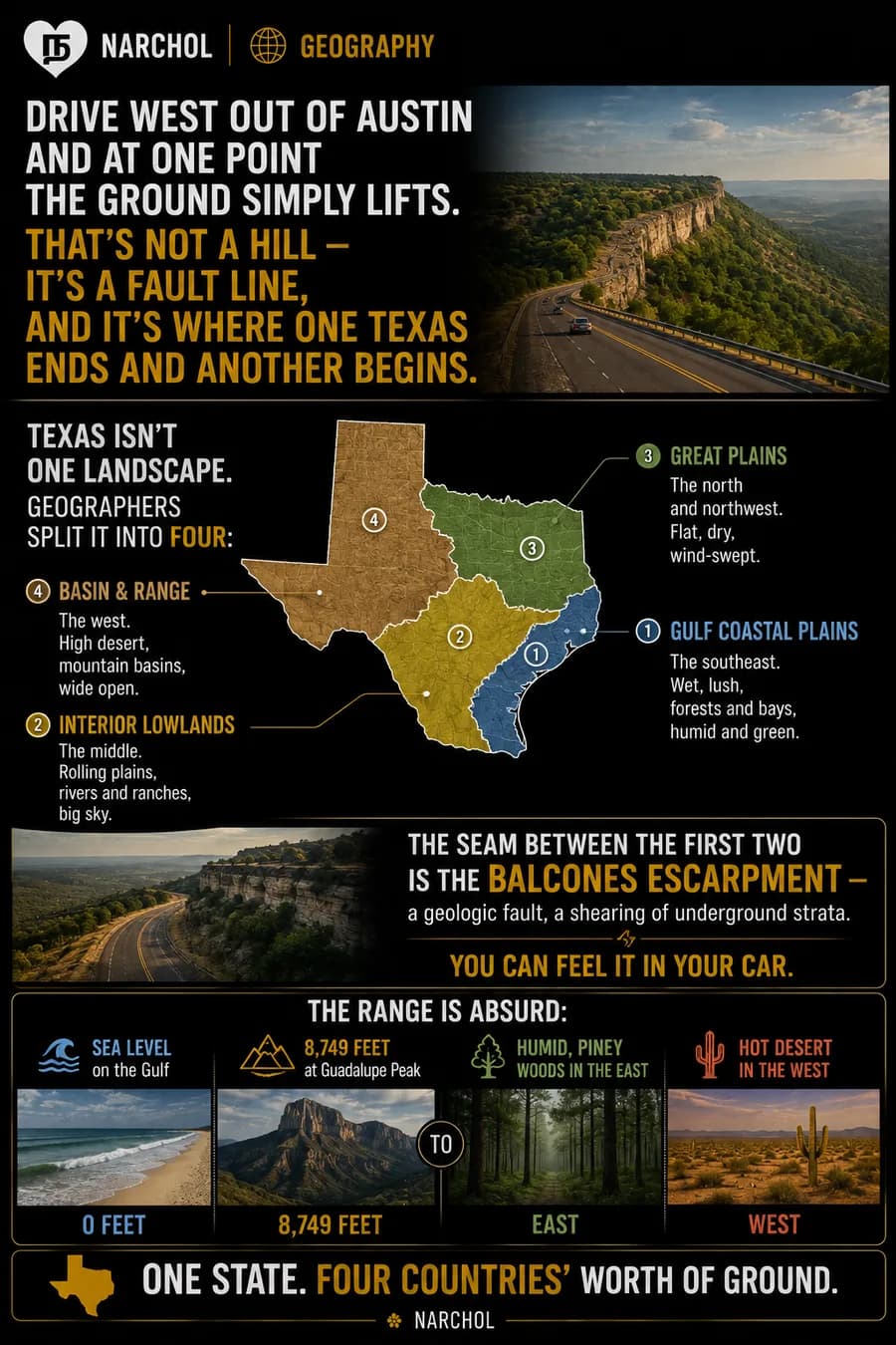
Drive west out of Austin and at one point the ground simply lifts. That is a fault line, and it is where one Texas ends and another begins.
Geographers split the state into four regions. The Gulf Coastal Plains in the southeast are wet and lush — forests, bays, humid and green. The Interior Lowlands through the middle are rolling plains, rivers and ranches under big sky. The Great Plains across the north and northwest are flat, dry, wind-swept. Basin and Range in the far west is high desert and mountain basins, wide open.
The seam between the first two is the Balcones Escarpment — a geologic fault, a shearing of underground strata, long since quiet. You can still feel it through the steering wheel.
The range across those four is absurd for one state. Sea level on the Gulf, 8,749 feet at Guadalupe Peak. Humid piney woods in the east, hot desert in the west.
One state, four countries' worth of ground.